Find the fault before it takes the asset offline.

Periodic and preventive inspection of critical infrastructure by UAV. Radiometric thermal and high-resolution visual data, delivered as a fault register with coordinates — no shutdown, no scaffolding, nobody working at height.

Energy, utilities, telecom and engineering teams.
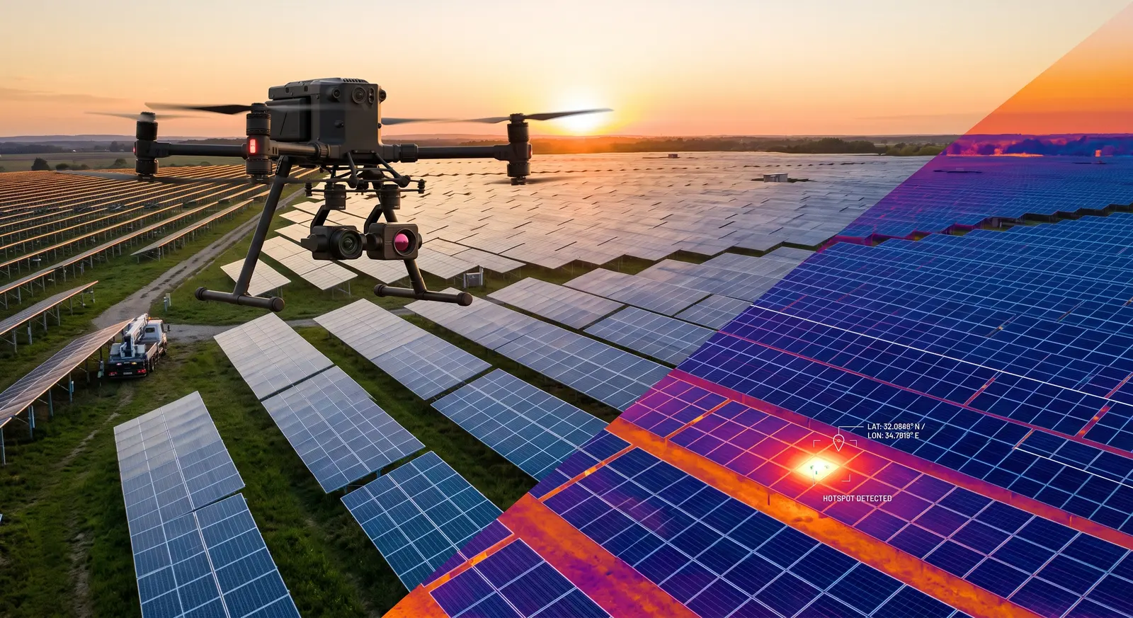
Solar farm captured simultaneously in visual and thermal, with a hotspot flagged
ZeroProduction downtime during inspection
<0.05°CRadiometric thermal sensitivity
Per faultAbsolute coordinates for every defect logged
12+Years of operational unmanned systems experience
Coverage
  • Solar PV thermography
  • Power lines & substations
  • Telecom towers & masts
  • Facades, bridges & structures
  • Tanks & process plant
  • Periodic condition monitoring

From breakdown maintenance to prevention

Traditional inspection means work at height, heavy access equipment and — often — stopping production entirely. The cost is rarely the inspection itself. It is the outage around it, and the faults nobody found.

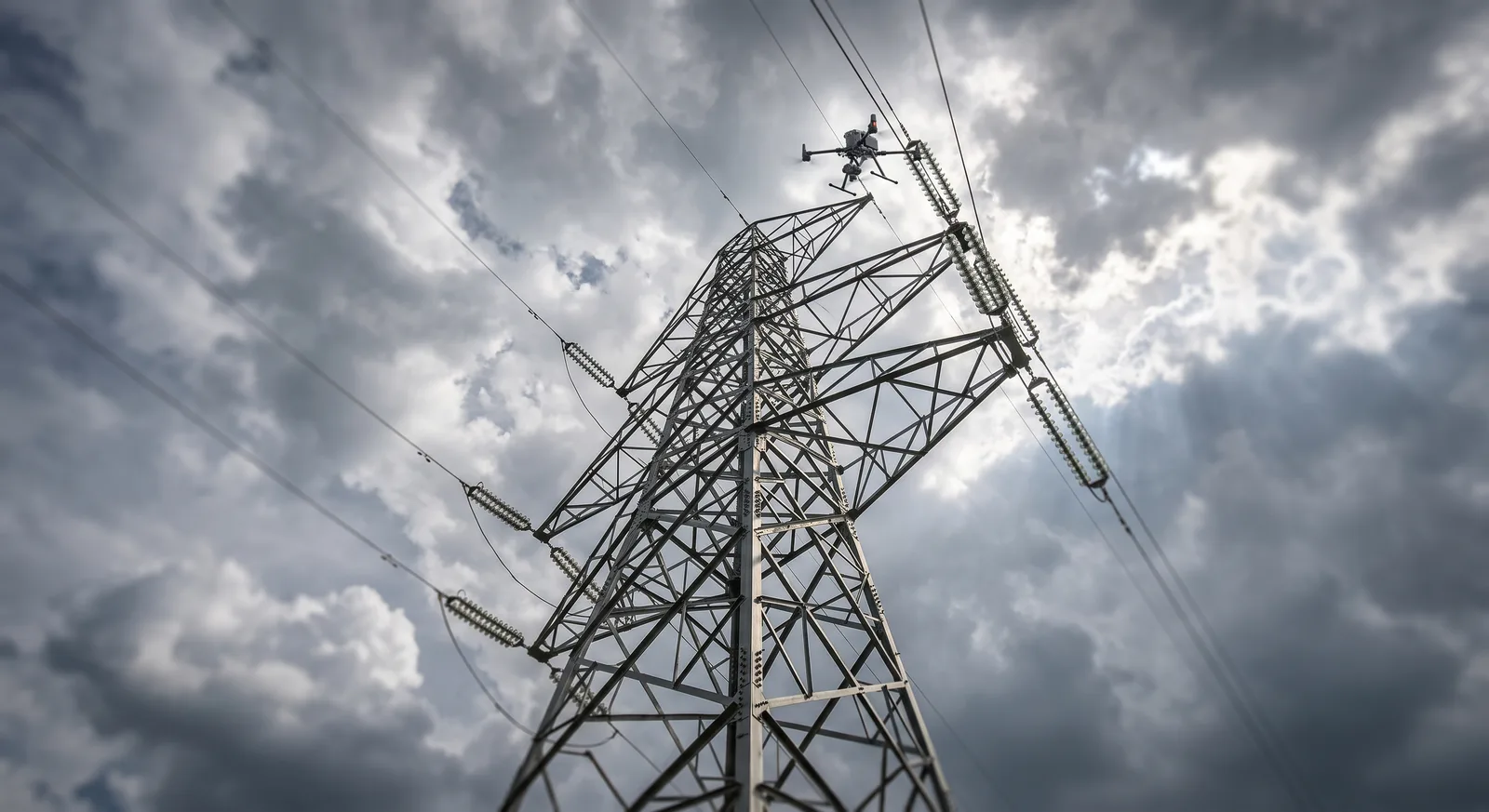
Transmission tower inspected from the air, conductors and insulators in frame

The inspection stops costing you an outage

Scaffolding, cherry pickers, rope access and permits exist to put a person next to the asset. Flying the sensor instead removes the access problem entirely — the plant keeps running, and nobody is exposed to a fall or a live conductor.

  • No production shutdown, no scaffold hire
  • A full site covered in hours rather than days
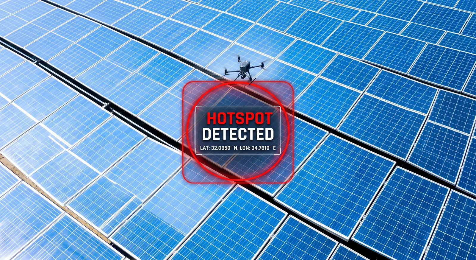
Aerial thermal survey of a solar array with a hotspot detected and geotagged

Thermal shows the failures the eye cannot

A cracked cell, a corroded connector or a loose termination looks entirely normal in daylight. Under load it runs hot, and that temperature difference is measurable long before it becomes an outage, an arc or a fire.

  • Radiometric capture — every pixel carries a temperature
  • Faults classified by ΔT, not by how bad they look
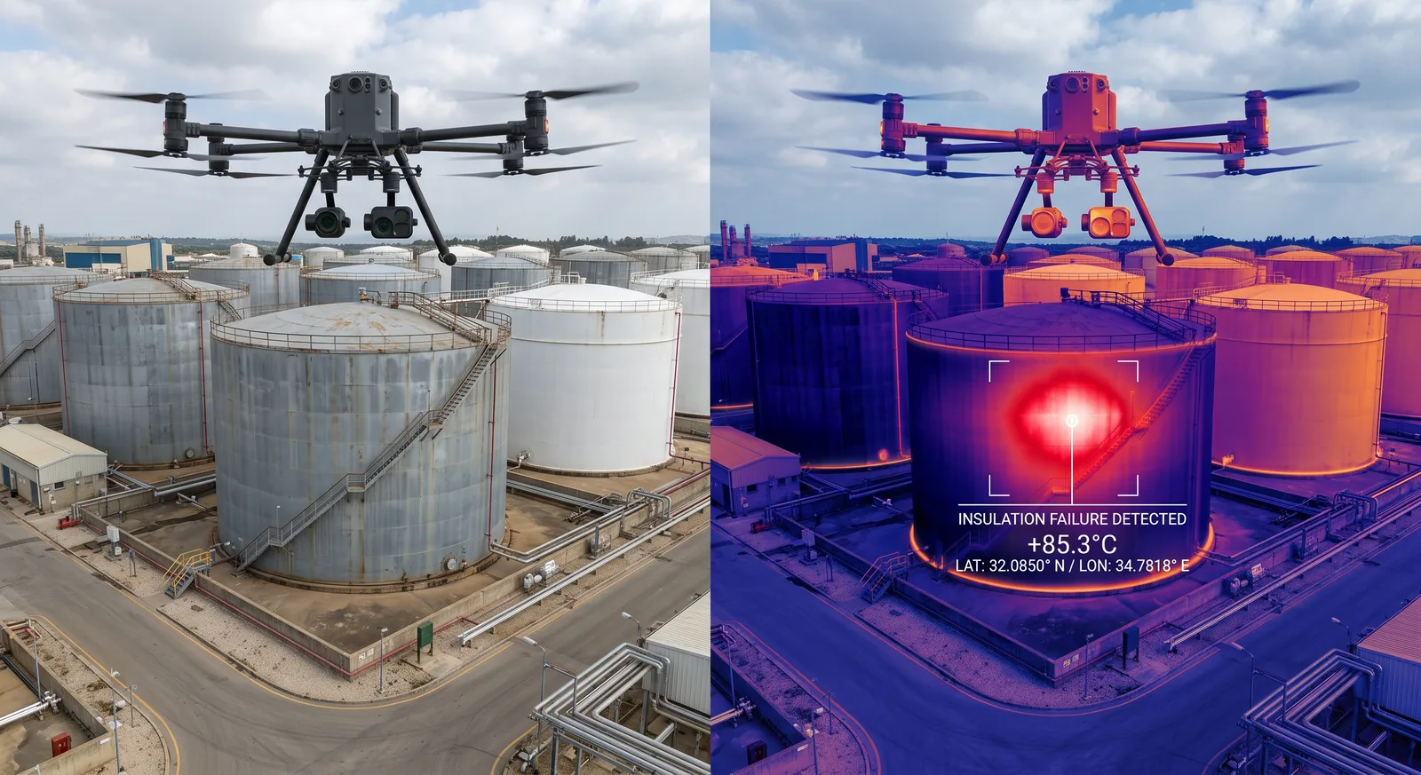
Matched visual and thermal capture of a tank farm with an insulation failure flagged

A finding is only useful if the crew can find it

A thermal image proves something is wrong. It does not tell a maintenance team which of forty thousand modules to walk to. Every defect we log carries absolute coordinates and its position in the site layout, so the crew goes straight to it.

  • Coordinates and string/module reference per fault
  • Prioritised by severity so the worst is fixed first

What we inspect

Four infrastructure classes, each with its own capture profile, fault taxonomy and reporting format.

  • Thermal inspection of a photovoltaic array identifying a module-level hotspot

    Solar farms and PV plant

    Aerial thermal scanning down to individual module resolution. Detects failed cells, bypass diode faults, burnt connectors, string outages, soiling and hotspots that quietly erode yield.

    A fault register with coordinates, severity class and estimated yield impact.
  • Overhead transmission line and pylon under aerial inspection

    Power lines and substations

    Dual-payload visual and thermal capture of insulators, conductors, joints and transformers — locating abnormal heating, overload and physical wear before a component fails in service.

    Condition report per asset, with thermal anomalies ranked against load.
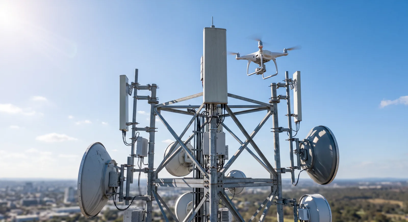
  • Communications mast with antennas surveyed by UAV from the air

    Telecom towers and masts

    Full structural capture from every aspect without a climb. High-resolution imagery of mounts, anchors, feeders and antennas, plus thermal on active equipment and connections.

    Visual condition record engineers can inspect element by element.
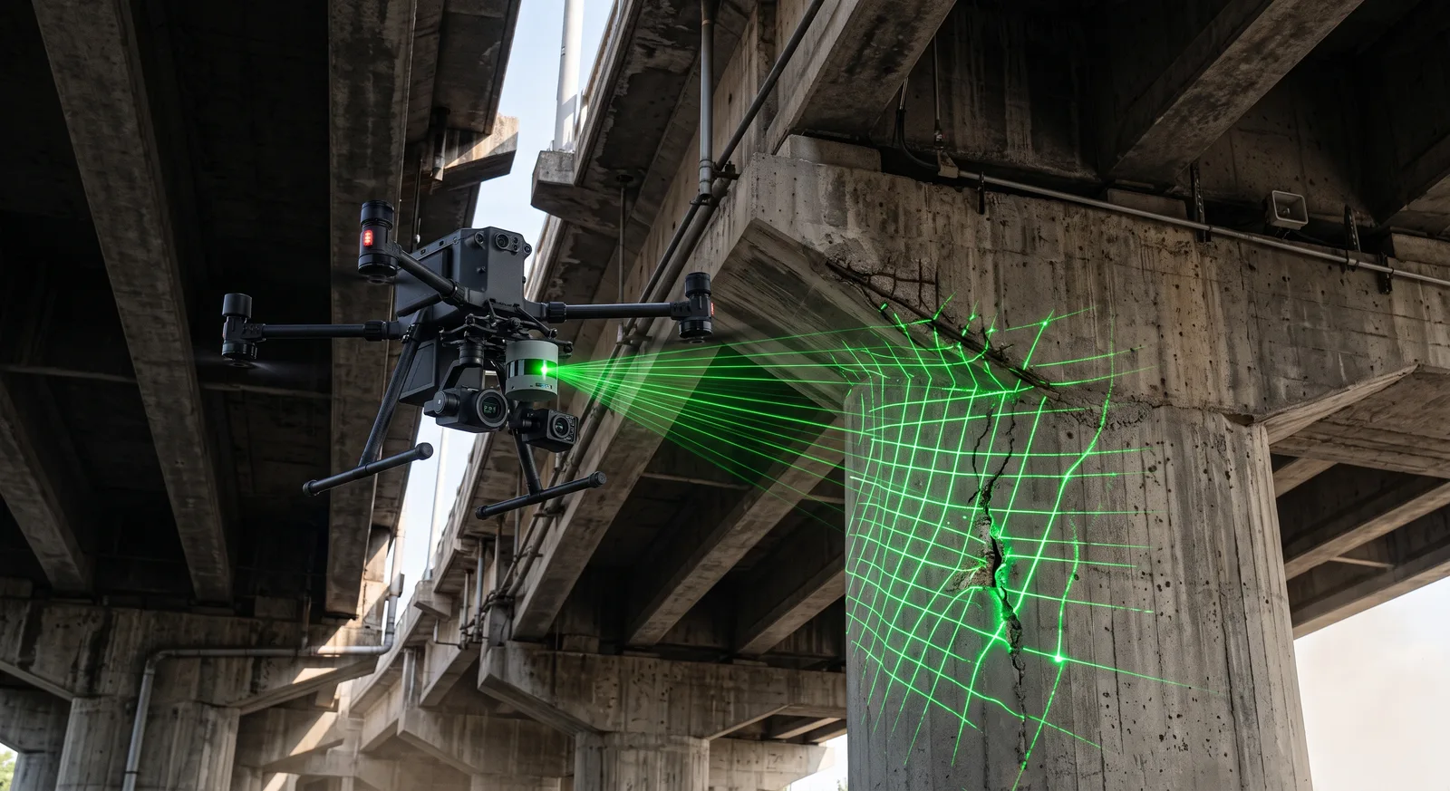
  • UAV scanning the underside of a concrete bridge deck and pier

    Facades, bridges and structures

    Structural condition survey of envelopes, decks, soffits and piers. Locates cracking, spalling, delamination and moisture ingress — including surfaces with no safe line of sight from the ground.

    Measurable 3D model plus a mapped defect register.
Side-by-side visual and radiometric thermal capture of industrial tanks

Flight-test discipline, applied in the field

Inspection data is not a flying problem — it is a sensor and methodology problem. A thermal frame captured at the wrong time of day, the wrong angle or the wrong irradiance is not evidence of anything. TeamFlight runs on more than 12 years in civil and military unmanned systems: integration work, flight testing and project delivery for UAV developers and defense industry. That background is why the capture conditions are specified before the aircraft leaves the ground, and why the report says how confident each finding is.

Data you can work from, not just photographs

The output has to land in your GIS, CMMS or maintenance workflow. Every project ships the same package.

  • Analysed thermal report

    Radiometric thermal paired with the matching RGB frame, so every anomaly has spatial context. Temperatures, ΔT against reference and severity classification per finding.

  • 3D models and orthophoto

    Georeferenced models of the asset that allow virtual measurement of cracks, deformation and clearances — and comparison against the previous inspection round.

  • Precise fault mapping

    Absolute coordinates for every defect, plus its reference in the site layout, exported for GIS and maintenance systems so crews spend zero time searching.

Four stages from site to fault register

Capture conditions are agreed in advance, because thermography flown under the wrong conditions is not repeatable.

  1. 01

    Scoping

    Asset type, fault classes that matter to you, reporting format and the operational constraints of the site.

  2. 02

    Planning and permits

    Capture conditions — irradiance, load state, time of day — plus flight planning, airspace approval and site coordination.

  3. 03

    Capture

    Flown to plan with dual payload, with coverage and thermal quality verified on site before the team leaves.

  4. 04

    Analysis and delivery

    Anomaly detection, classification by severity, coordinate tagging and handover in your working format.

Talk to us about a site

Do not leave hidden faults to find themselves.

Send the site description, the infrastructure type and your data requirements — you will get a project outline and a deliverables spec back within one business day.

Book a scoping call

Questions that come up

Direct answers on conditions, standards and what the report actually contains.

Do we have to shut anything down?

No — and for thermal work you should not. Thermography relies on the asset being under load: a de-energised line or a disconnected string is thermally invisible, so a fault that would show clearly under normal operation simply will not appear. We fly during normal production, which is both cheaper for you and more diagnostically useful.

What conditions do you need for thermal inspection to be valid?

For PV, meaningful results need irradiance above roughly 600 W/m², low wind and a clear sky, which in practice means a specific window on a specific kind of day. For electrical assets, the load state at capture matters more than the weather. We specify the required conditions during scoping and will move a field day rather than fly one that produces data we cannot stand behind.

How precise is "the location of the fault"?

Every logged defect carries absolute coordinates plus its reference in the site layout — for PV that is the string and module position, for a line it is the structure number and the component on it. The intent is that a crew can drive to the point and identify the item without carrying a laptop or re-interpreting an image.

What standards do you work to?

PV thermographic inspection follows the methodology of IEC 62446-3, including the capture conditions and the anomaly classes it defines. Electrical and structural work follows the client's own inspection regime where one exists; where it does not, we agree the fault taxonomy and severity thresholds in writing before flying, so successive rounds stay comparable.

Can you compare against our previous inspection?

Yes, and that is where most of the value sits. Repeat rounds flown to the same plan and the same control let you see which faults are new, which are stable and which are getting worse — turning inspection from a snapshot into a trend you can plan maintenance budgets around.

Who handles flight approvals?

We do. Airspace planning, permit applications and coordination with the relevant authorities are part of the engagement. Sites near controlled airspace, power infrastructure or sensitive facilities need longer lead time, and that is flagged at the quote stage rather than the week of the flight.